Geography
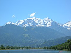
The EU's member states cover an area of 4,423,147 square kilometres (1,707,787 sq mi).[q] The EU's highest peak is Mont Blanc in the Graian Alps, 4,810.45 metres (15,782 ft) above sea level.[114] The lowest points in the EU are Lammefjorden, Denmark and Zuidplaspolder, Netherlands, at 7 m (23 ft) below sea level.[115] The landscape, climate, and economy of the EU are influenced by its coastline, which is 65,993 kilometres (41,006 mi) long.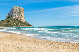 65,993 km (41,006 mi) coastline dominates the European climate (Natural Park of Penyal d'Ifac, Spain)
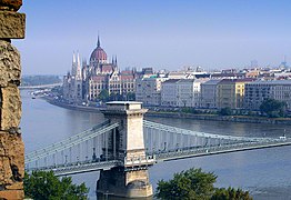 The Danube (pictured in Budapest), is the longest river in the European Union
 Repovesi lake in Finland, where there are some 187,888 lakes larger than 500 square metres


The EU's population is highly urbanised, with some 75% of inhabitants living in urban areas as of 2006. Cities are largely spread out across the EU, although with a large grouping in and around the Benelux.[117]
Keine Kommentare:
Kommentar veröffentlichen